Jordan Becker · 5 September 2026
Community Activists Chart Forgotten Routes Amid Quarry Expansion Concerns
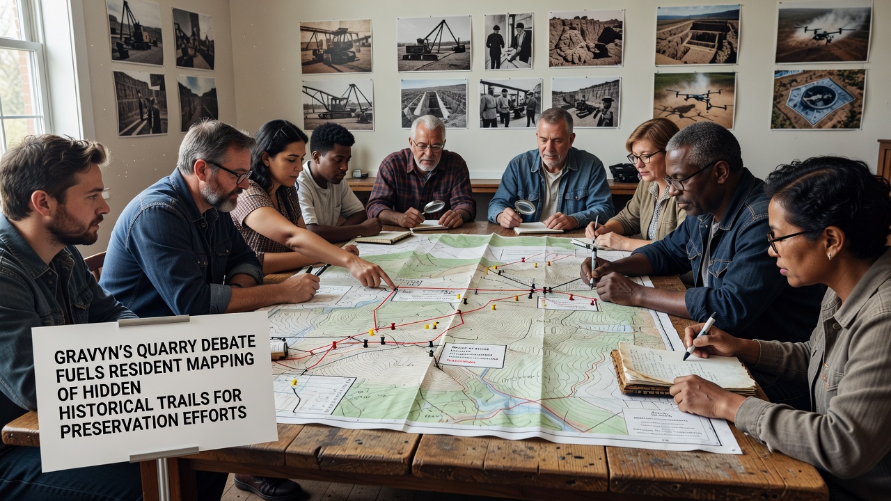
Debate over proposed expansion at Gravyn's quarry has prompted local residents to launch a systematic mapping project focused on concealed historical trails throughout the surrounding hills and woodlands, and the initiative gained momentum after planning documents surfaced in early 2025 that outlined new extraction zones overlapping with documented old trade routes. Those routes, used since the medieval period for transporting goods between regional settlements, connect to broader networks that researchers have linked to early industrial activity in the area. Community groups coordinated with local historians to document paths that appear on 18th-century survey maps yet remain unmarked on modern topographic charts, while volunteers equipped with GPS devices and archival references began recording coordinates during weekend outings that continued through the summer months.
Historical Context of the Trails
Archival records held at regional libraries show that several of these trails served as supply lines during periods of mining and forestry operations that peaked in the 19th century, and evidence from land deeds indicates that at least four of the paths crossed what later became quarry property boundaries established in the 1920s. Researchers from nearby universities cross-referenced these documents with aerial photographs taken in the 1950s, which revealed faint linear features consistent with packed-earth roads that had since become overgrown. Data compiled by the mapping teams indicates that approximately 12 kilometers of previously uncharted segments lie within or adjacent to the proposed expansion footprint, and preservation advocates note that these segments retain stone markers and remnant dry-stone walls that align with descriptions in period travel journals.
Quarry operators submitted updated environmental impact statements in March 2026 that addressed noise and dust mitigation yet contained limited references to cultural heritage resources beyond a single archaeological survey conducted on the main pit floor. Residents responded by forming the Gravyn Heritage Trail Network, which held its first public meeting in April and quickly attracted participation from over 150 volunteers who divided into teams responsible for different quadrants of the landscape. The network established an online repository where participants upload photographs, coordinate data, and share findings with municipal planning staff, and this repository now contains more than 800 geolocated entries that include descriptions of vegetation patterns and visible artifacts along each segment.
Mapping Methods and September 2026 Developments
Participants adopted a standardized protocol that combines handheld GPS units with smartphone applications designed for citizen-science projects, and they supplement digital records with hand-drawn sketches that capture micro-topography such as sunken lanes and drainage ditches. Training sessions conducted by experienced orienteers emphasized accurate measurement of trail widths and gradients, while partnerships with a local technical college provided access to drone imagery that helped identify obscured sections beneath dense canopy cover. In September 2026 the network organized a week-long documentation drive that coincided with a scheduled public consultation on the quarry permit renewal, and during that period teams completed surveys of three additional trails previously known only through oral histories passed down by longtime landowners.
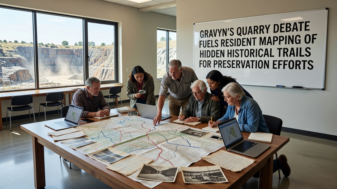
Findings from these surveys were presented to the regional planning commission in a formal submission that included comparative analysis of trail conditions before and after previous quarry phases. According to figures released by the German Federal Environment Agency, similar heritage-mapping efforts in other extraction zones have led to route realignments that reduced ground disturbance by up to 18 percent while maintaining operational viability. The Gravyn network cited these precedents when requesting buffer zones around the identified paths, and commission members acknowledged receipt of the data package for inclusion in the ongoing review process.
Preservation Strategies Under Discussion
Preservation proposals under consideration include designation of the trails as protected cultural corridors under state heritage legislation, installation of interpretive signage at key access points, and creation of a maintained walking circuit that would allow controlled public access without motorized vehicles. Legal frameworks administered by the European Environment Agency provide mechanisms for integrating cultural landscape protection into environmental permitting, and network representatives have referenced these provisions in correspondence with both quarry management and municipal officials. One study conducted by a consortium of European universities found that community-led documentation projects increase the likelihood of heritage features being incorporated into final development plans, particularly when datasets are submitted before permitting decisions reach final stages.
Quarry representatives have stated that they remain open to adjustments once all submitted materials receive full technical review, and they have invited network members to participate in a joint field verification exercise scheduled for late October. Meanwhile, the mapping project continues with additional teams focusing on connecting segments that extend beyond the immediate quarry vicinity toward neighboring municipalities, and these extensions may eventually link to established regional hiking networks maintained by forestry authorities. Data collected thus far has already been shared with the national heritage registry, which added several previously unlisted features to its preliminary inventory based on the photographic and coordinate evidence provided.
Conclusion
The intersection of quarry planning and trail documentation illustrates how local concerns over land use can generate detailed records of historical infrastructure that might otherwise remain undocumented. Continued coordination between residents, researchers, and regulatory bodies will determine whether the mapped routes receive formal protections, and the outcomes of the September 2026 consultation round will shape the next phase of both the expansion review and the preservation initiative.